Multispectral Camera
Overview
Benefits And Features
With the continuous technical updates , our drones bring many actual benefits to our customers, including saving time and cost, getting more comprehensive data, keeping personnel safe.
Synchronized Thermal and Multispectral Imagery
Let you capture distortion-free RGB, NDVI, and advanced vegetation index layers in a single flight
Ultra-high Resolution
Up to 1.2cm (0.47in) full colour sharpened ground resolution at 60m (200ft) for advanced vegetation research
Several APIs
With several APIs, the camera can be compatible with multiple processiong platforms
Increased CFexpress Removable Storage
Allow for two captures per second for maximum speeds and the shortest turnaround time
DLS 2 Light Sensor with Embedded GPS
Ensure your data is highly calibrated for enhanced accuracy and reliability
Upgraded 320 x 256 Thermal Sensor
Deliver twice the ground resolution of the previous Altum for heat maps - 17 cm from a flight height of 60 m.
Compatible Drones


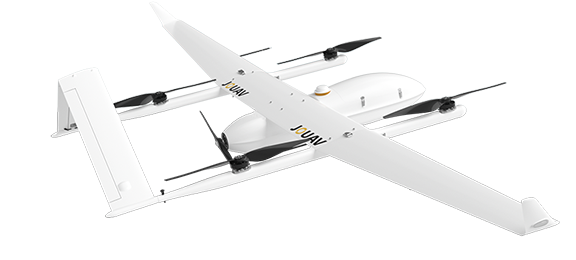
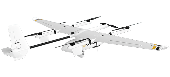
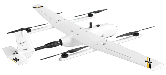
CW-25E
CW-15
CW-007
Contact US
Feel free to contact AdrekDrones. You can get
- More information about Adrek and our drones
- Provide the suitable solution for your needs
- Help for your project promotion

