-120
Benefits And Features
With the continuous technical updates , our drones bring many actual benefits to our customers, including saving time and cost, getting more comprehensive data, keeping personnel safe.
NFB Scanning
Provides detailed point cloud representation for accurate mapping.
High Precision
Accuracy of 10mm and precision of 5mm for detailed mapping.
Exceptional Efficiency
Up to 18km² coverage per flight (with 50% overlap) on JOUAV CW-15 drone.
15 Returns
Captures ground points under dense foliage for comprehensive data.
Long Range
Covers up to 1430m at 80% target remission for extensive mapping.
High Efficiency
IMU/GNSS Integration
Seamless Operation
Fully integrated with JOUAV's flight control system and GCS for simplified workflows.
1TB Internal Storage
Offers ample space for storing large datasets from surveys.
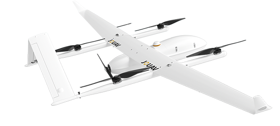
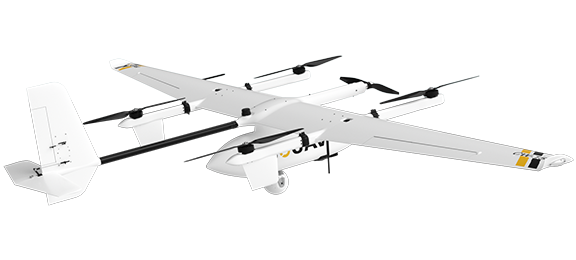
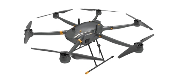
Compatible Drones


CW-25E
CW-15
PH-20
Contact US
Feel free to contact AdrekDrones. You can get
- More information about Adrek and our drones
- Provide the suitable solution for your needs
- Help for your project promotion

