- LR22
Benefits And Features
With the continuous technical updates , our drones bring many actual benefits to our customers, including saving time and cost, getting more comprehensive data, keeping personnel safe.
Centimeter-Level Precision
Elevation error less than 2cm without ground control points (GCPs).
1845m Detection Range
Reach distances exceeding 1845 meters at 80% reflectivity.
Higher Point Cloud Density
Generate detailed 3D models with a rate of 1.5 million points per second.
High Efficiency
20km2 covered in a single flight on CW-25E (at a scale of 1:500).
15 Returns
Extract detailed topographic data from dense vegetation with ease.
360° Field of View
Capture comprehensive data with ease no matter the environment or angle.
Integrated Full-Frame Camera
61MP resolution for capturing high-quality imagery alongside LiDAR data.
Base Station and GCP-Free
Simplify the setup process, saving time and resources.
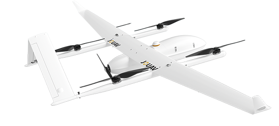
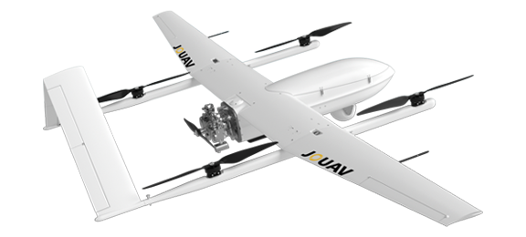
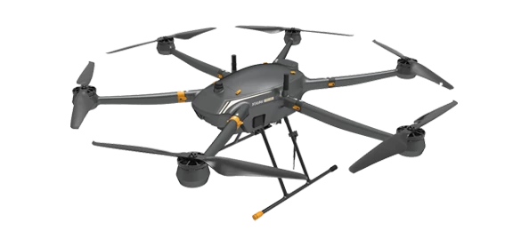
Compatible Drones


CW-25E
CW-30E
PH-20
Contact US
Feel free to contact AdrekDrones. You can get
- More information about Adrek and our drones
- Provide the suitable solution for your needs
- Help for your project promotion

