Applications
Adrek has always been committed to using cutting-edge technology to benefit the society
Mapping & Surveying
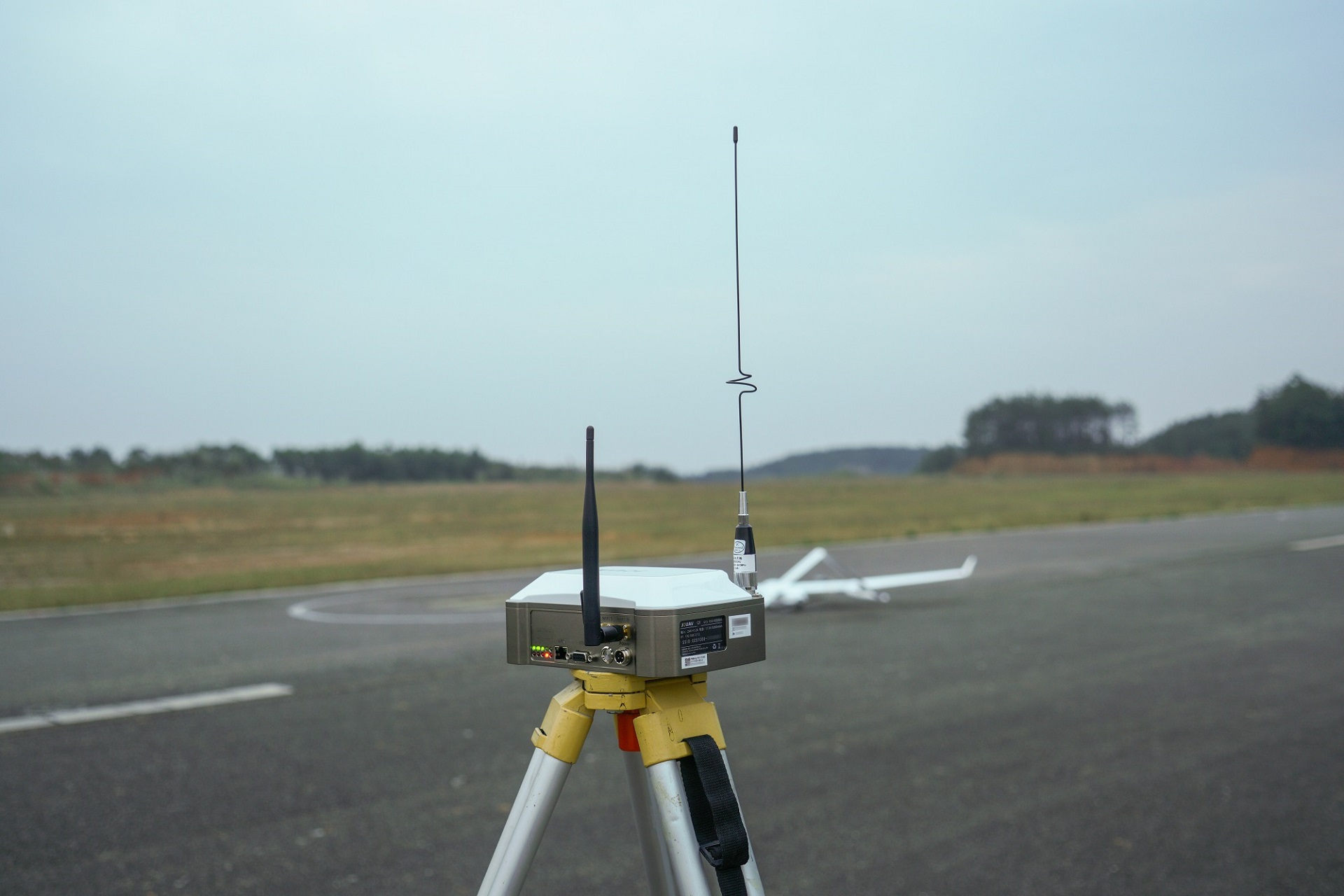
A drone survey is the use of drones or unmanned aerial vehicles (UAVs) equipped with RGB cameras, multispectral cameras, or LiDAR payloads to collect data. And then this data is transmitted to special equipment on the ground near the UAV operator. The end result of drone land surveying is a finished map of detail at a given scale, presented in digital format.
Surveying drones can fly at much lower altitudes than traditional techniques like manned aircraft or satellites, providing high-resolution, high-precision images faster and cheaper, and independent of weather conditions such as cloud cover.
Security & Surveillance
Drone surveillance is the use of unmanned aerial vehicles (UAVs) to capture still images and video from a distance or at a high altitude to gather information about specific targets, which may be individuals, groups, or the environment.
Drones’ small size, ability to fly, and withstand harsh environments mean they can often survey objects that may be out of reach and can get a first-person view that photographers don’t usually get. Nowadays, security drones equipped with live video cameras, infrared cameras, thermal sensors, and LiDAR are used in large numbers by law enforcement.

Mining & Aggregates
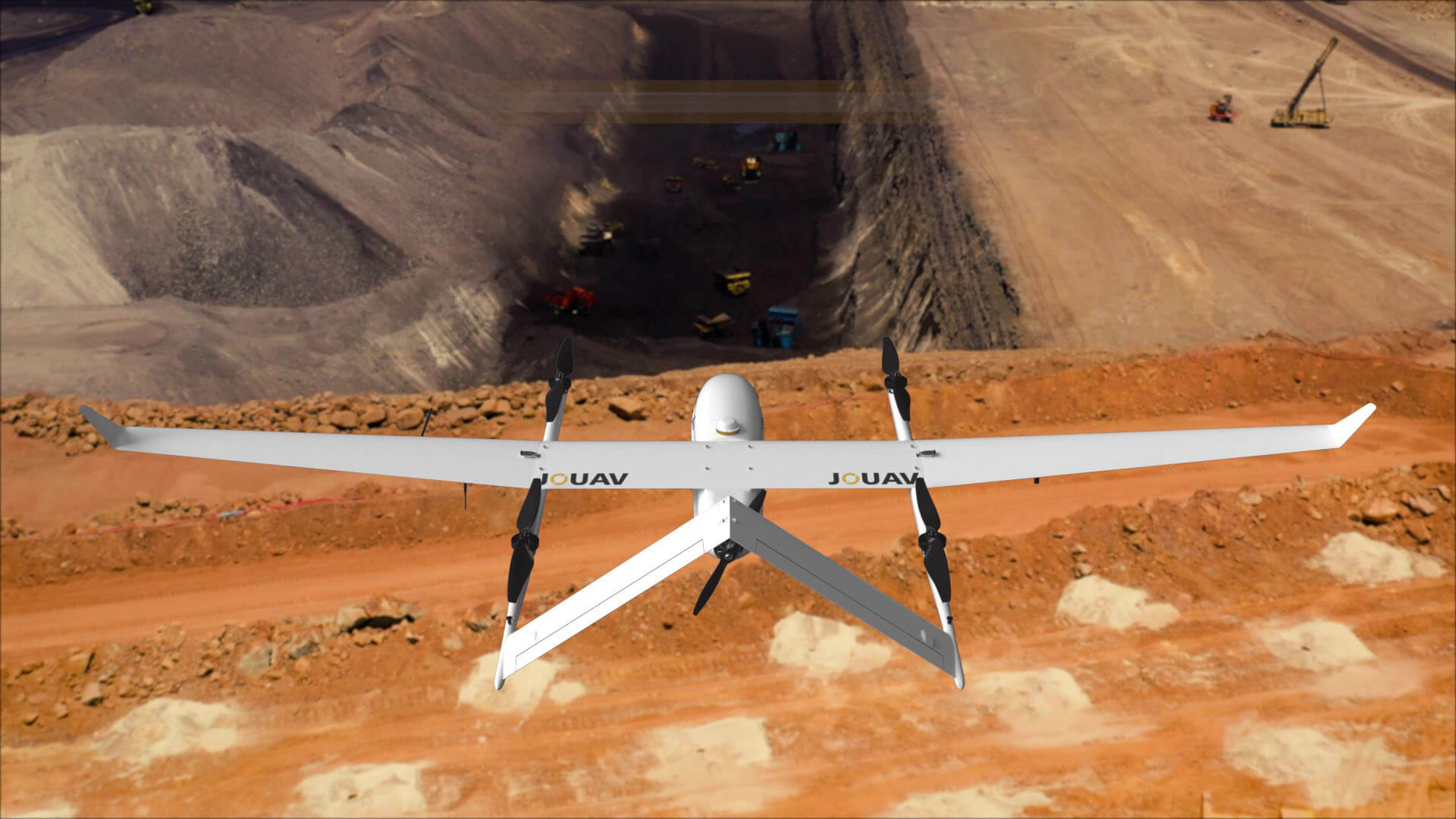
Mining drone inspection means that a drone equipped with a downward RGB camera, LiDAR, or other measurement sensors captures images from different points of the open-pit mine or quarry. These images or LiDAR point cloud data are then processed by comprehensive and professional photogrammetry software to form geotagged 3D maps, Digital Elevation Models (DEM), Digital Terrain Models (DTM), Digital Surface Models (DSM), etc. for detailed analysis by operators.
Oil & Gas
The oil and gas industry is one of the biggest industries in the world, one of the most capital-intensive while being one of the largest contributors to the global economy. While its profits are among the highest in the world, turning natural resources into usable products is expensive. In addition to operating budgets, major capital investments, such as refineries, can cost hundreds of thousands of dollars, and these costs are largely spent on frequent inspections and maintenance.
Oil and gas facilities – both onshore and offshore – require frequent inspections and maintenance to ensure safety and avoid breakdowns. But current inspection methods involve huge costs, significant risks, and shutdowns that result in huge losses.
Fortunately, the advent and introduction of drone technology have taken the entire nature of the oil and gas industry to a much higher level.
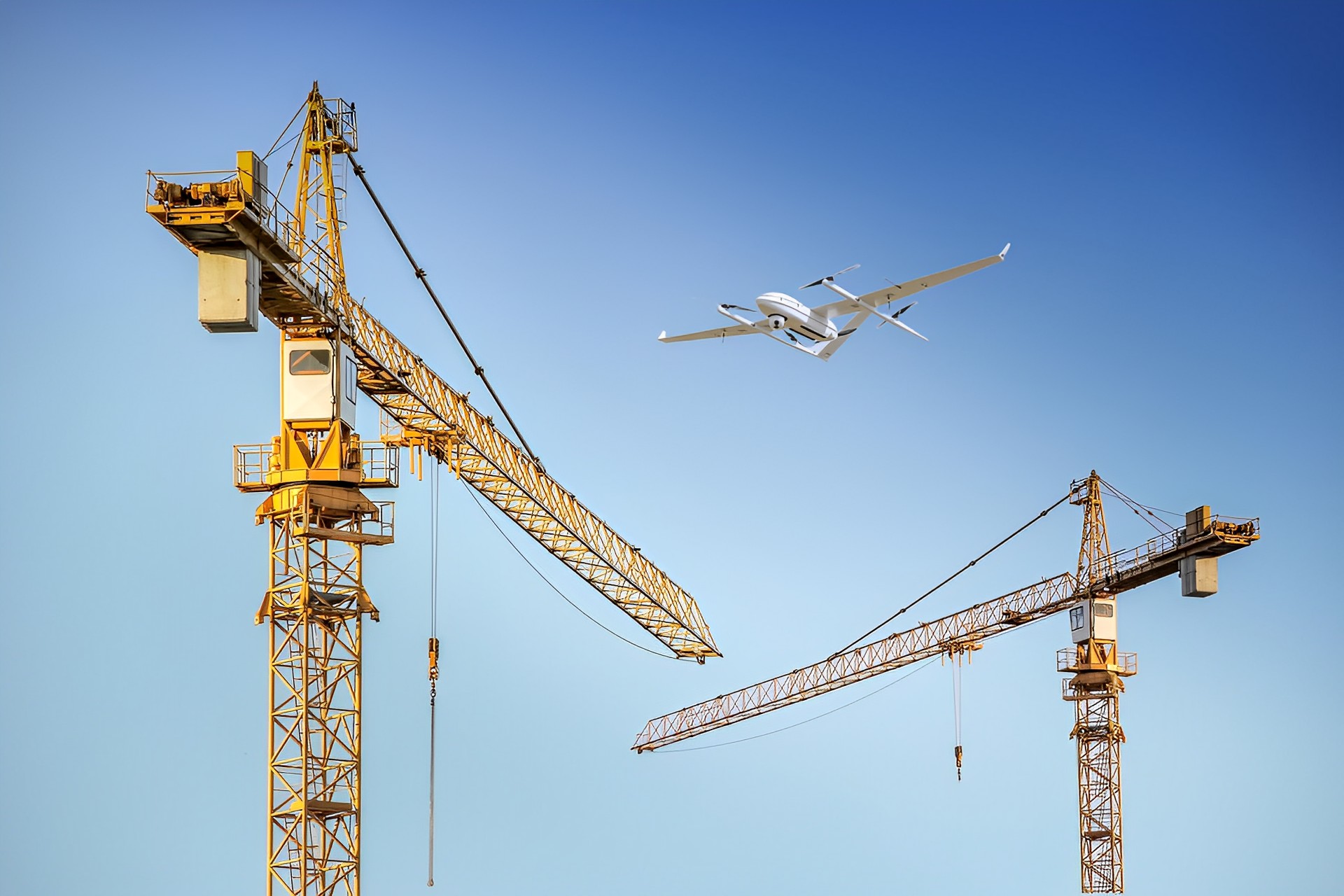
Drone in Construction & Infrastructure
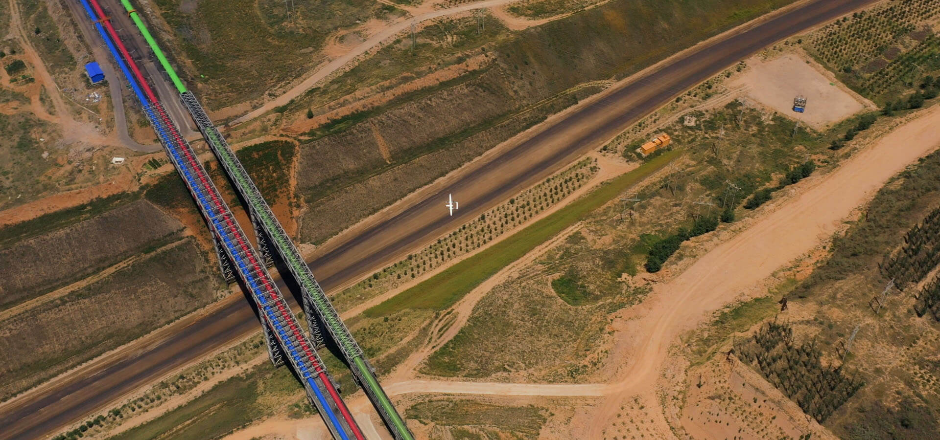
Drones in construction and infrastructure have revolutionized the entire project life cycle, which helps construction companies regularly track the construction progress, streamline communication and decision-making, build detailed maps and 3D models, and keep site workers out of hazardous areas.
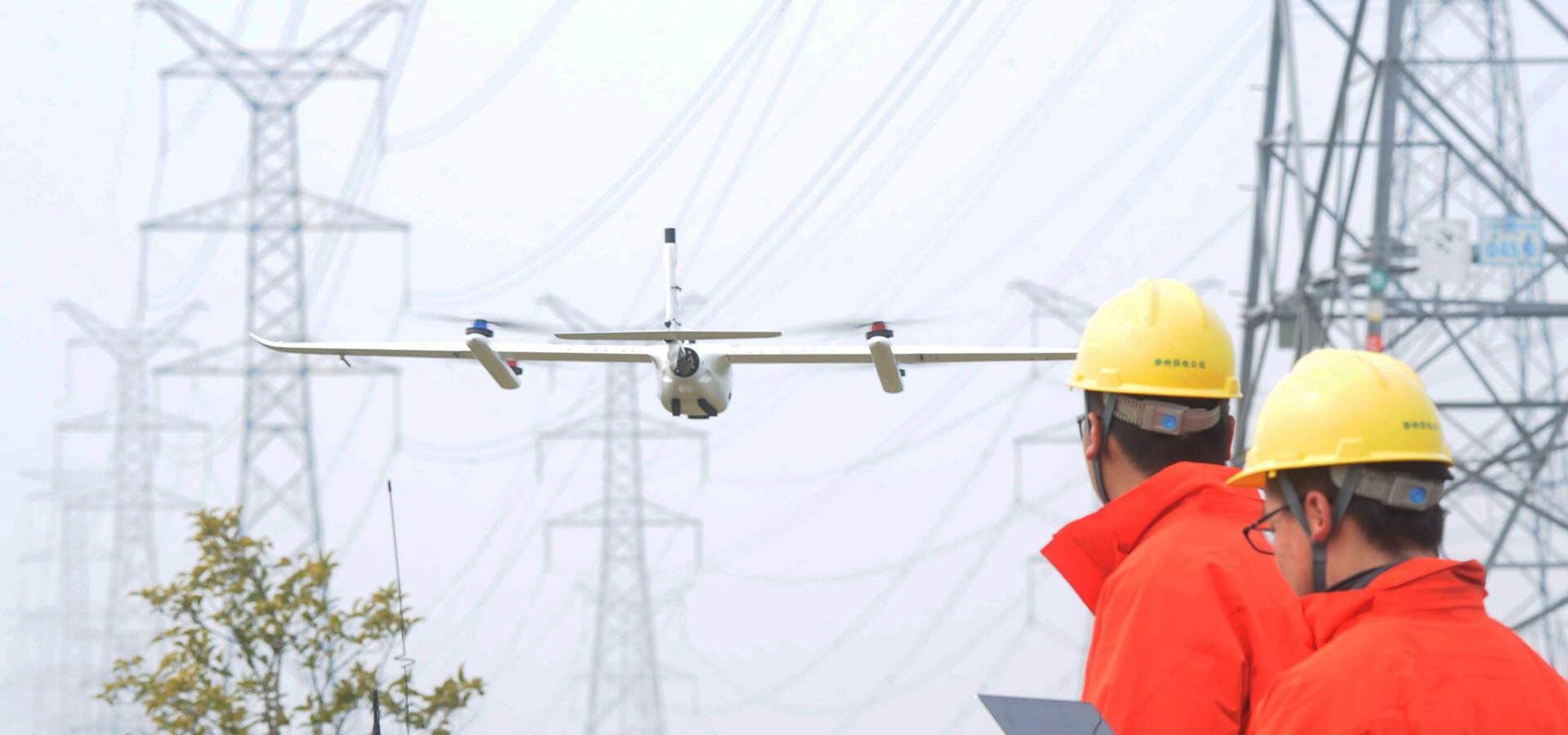
Power line Inspection
Drone solutions automate inspections and provide accurate data on all parts of the grid, enabling timely repairs, removing risk of accidents, and reducing downtime.
5G Networking
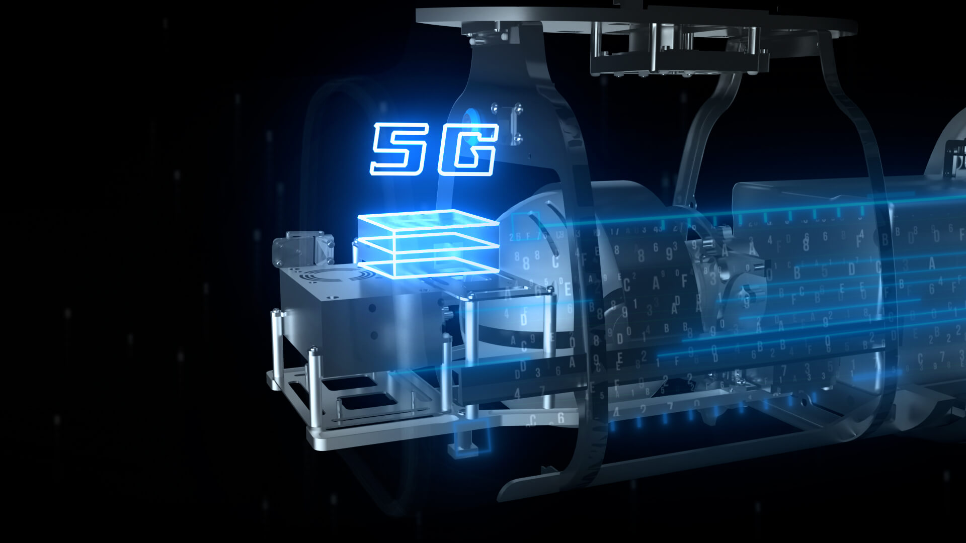
5G networked drones, replacing the drone’s self-built communication link through 5G cellular network, realizing remote control of the aircraft and operation data transmission, widely used in all walks of life.5G large bandwidth, low latency, high reliability + AI + drones are easy to operate, high efficiency, and low cost. It integrates innovation into more business scenarios and provides end-to-end solutions.5G + UAV system products have the advantages of reducing costs, increasing efficiency, and refined operations in industries such as emergency communications, remote sensing mapping, power line inspection, urban security, and environmental monitoring.
Emergency Response
Drones have revolutionized the way we respond to disasters.
In the past, responders had to rely on traditional methods of transportation and search and rescue missions. These methods were often time-consuming and costly, not to mention dangerous for the responders.
Drones, however, provide a much faster and more efficient way of responding to disasters. They can be used to quickly assess the situation, locate victims, and even deliver supplies and aid.
This article will explore the potential of drones in disaster response and the benefits they offer over traditional methods of relief and the potential solutions that are being explored.

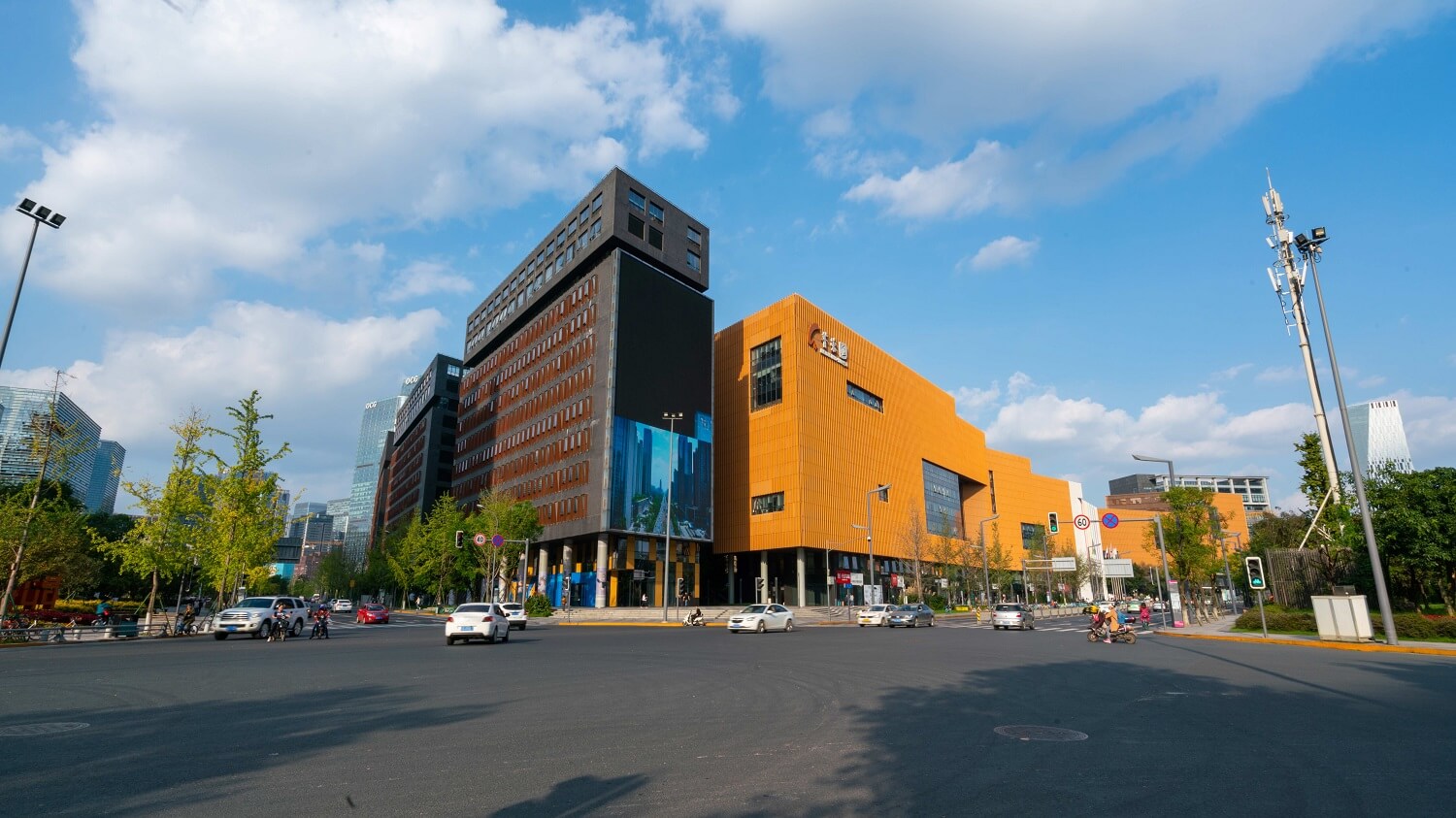
Smart City
Digital Earth and Smart Earth put forward the slogan for efficient application of resources and the environment. The construction of smart cities requires drone remote sensing technology to obtain surface data in a short period. Utilizing the precise and refined technical advantages of drones in urban planning, engineering environment, smart transportation, urban safety prevention, control, etc., can help the development of smart cities.
Environment
The UAV remote sensing system has the advantages of low cost, high safety, high maneuverability, high precision, and diversified payloads, which makes its application in the field of environmental protection unique advantages, and can quickly ascertain the status of the environment on demand. It can play an extremely important role in environmental protection management, monitoring, supervision, and emergency and ecological protection of construction projects.
Water Resources
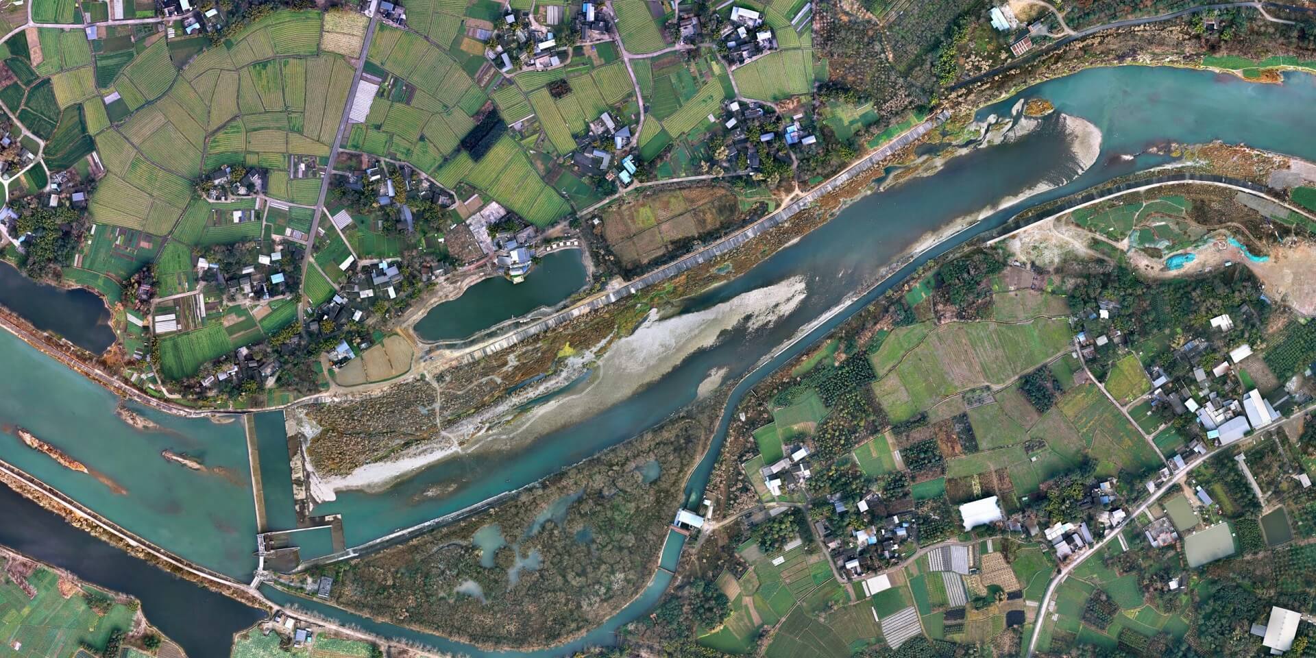
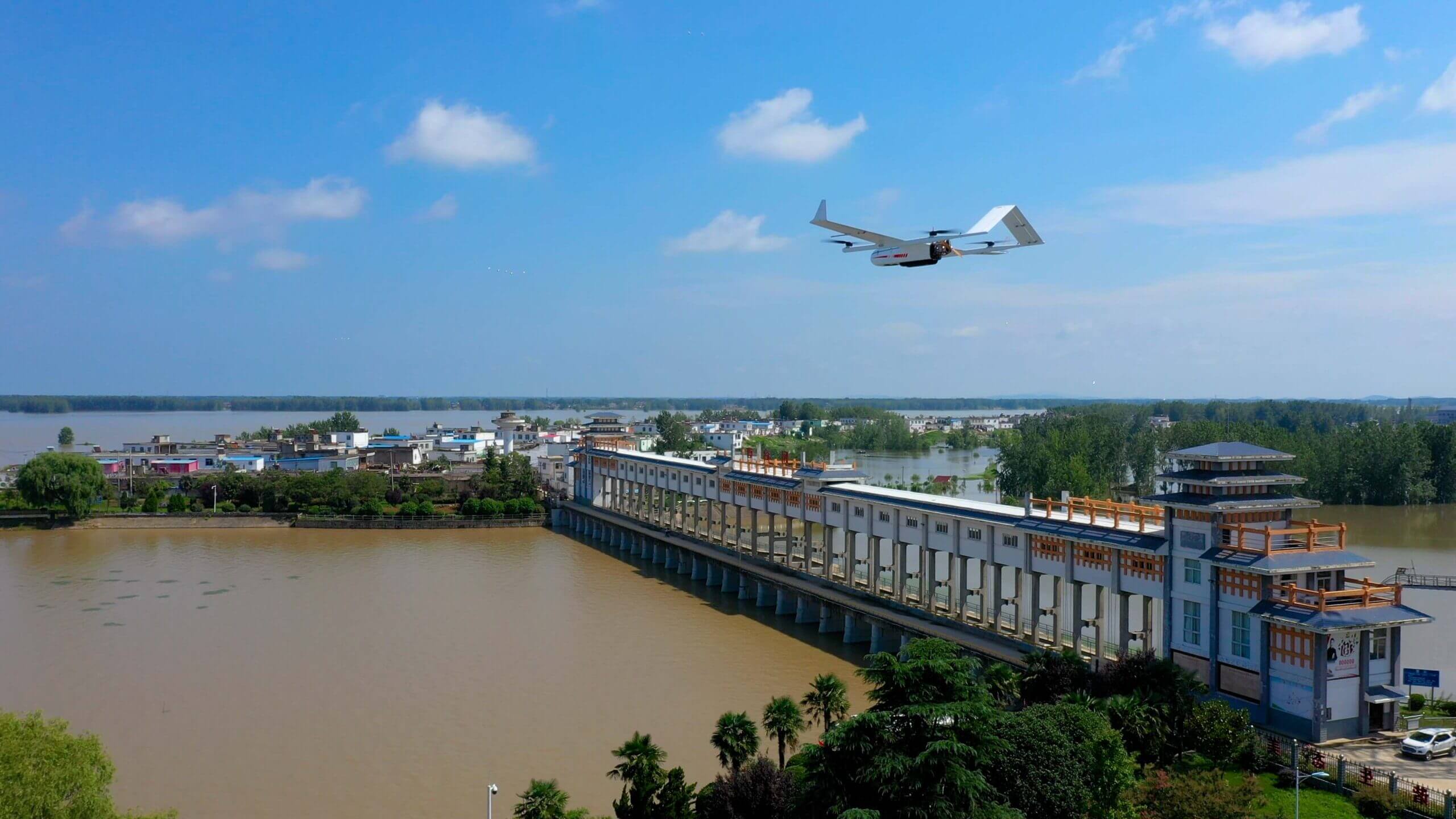
“Smart water resources” needs to rely on modern technical means to establish a basic water resources information perception system, improve the support system, promote the fine management of integrated water resources, improve the level of scientific decision-making and dispatch management. Finally, a smart water resources management system of “more thorough perception, more comprehensive interconnection, more scientific decision-making, and more efficient and intelligent management” will be formed.
Traffic Inspection
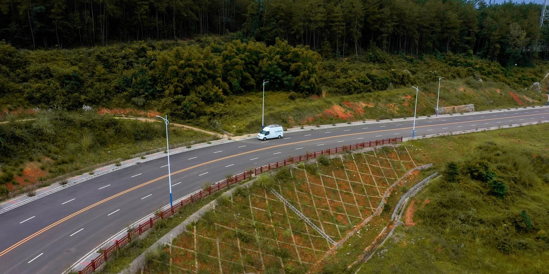
Using UAV system can improve the operational monitoring capabilities of the road transportation industry, can enhance the industry’s collaborative law enforcement capabilities and traffic decision-making capabilities, also can strengthen the efficiency of government management services and the application of high-tech innovations. Realize the automatic collection function of inspection data in road maintenance and road administration inspection applications, provide data guarantee for “precise disposal”, and establish a daily regular inspection mechanism.
