CW-80E Overview
Trusted Partners
Benefits And Features
With the continuous technical updates , our drones bring many actual benefits to our customers, including saving time and cost, getting more comprehensive data, keeping personnel safe.
Outstanding Performance
The CW-80E is a high-performance industrial drone with 8 hours of flight time, a 5000m ceiling, and 100kg Max. take-off weight.
VTOL
Vertical takeoff and landing, greatly reduce terrain dependence and adapts to most places.
Modular design
Set up or take down in a few minutes, get started quickly.
Modular design
Set up or take down in less than 2 minutes without any tools, get started quickly.
Fully Auto
One-button take-off and land, safe and simple, landing accuracy within 10cm.
RTK and PPK Function
This means centimeter-level autonomous vertical landing and high-precision POS data.
Super Adaptability
Fly in high altitude, high humidity, low temperature, and light rain condition with self-heating airspeed tube and battery.
Large Payload Capacity
The CW-80E can carry up to 20kg payloads, which means it can use most mission equipment. This gives it a high degree of compatibility.
Optional Payloads
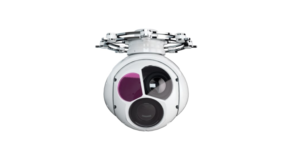
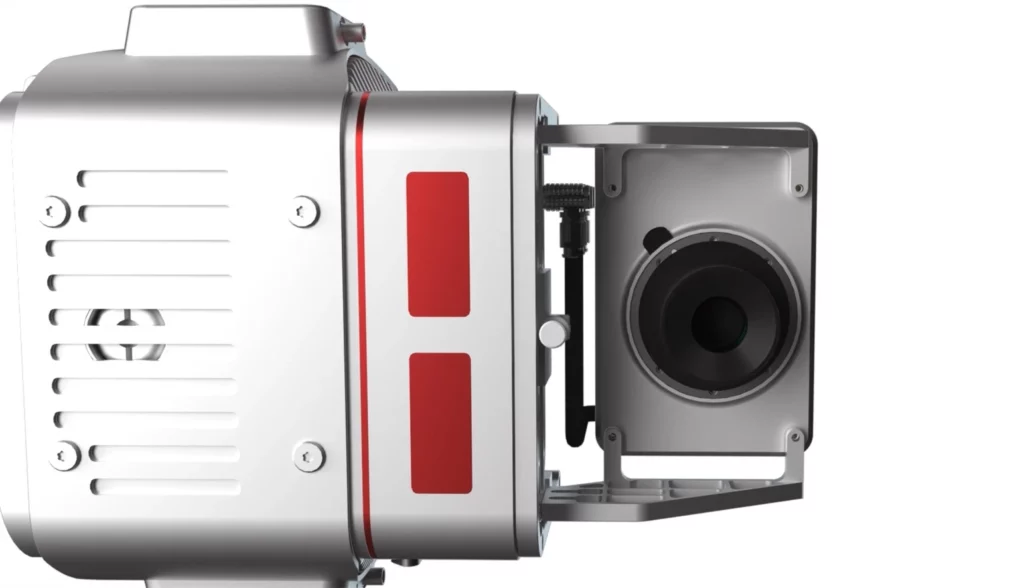
ADREK UAV can carry many types of mission payloads. You can choose different cameras according to the actual mission needs, including LiDAR system, industrial aerial camera, oblique camera system, gimbal system and SAR. Simple and flexible, multi-purpose.
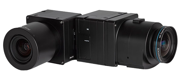
CA-103 Aerial Camera
MG-150E EO/IR/LR Gimbal Camera
JoLiDAR-LR22
Ground Control Stations
JOUAV offers handheld, portable and modular vehicle ground control station. You can choose different control devices according to the different environment and task.
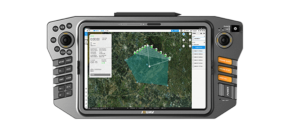
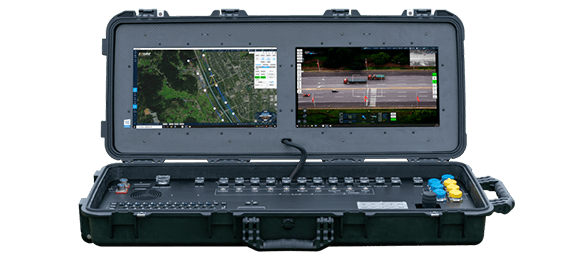
TC-200 Handheld Ground Control Station
GCS-303 Ground Control Station
Supporting Software
JOUAV provides one-stop UAV products, including the supporting software needed for the task. You can use these software to plan a flight path, control and manage the drone, track and identify targets, and see video and geo-data information from the drone in real time.
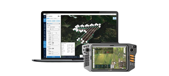
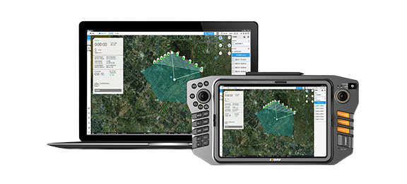
Eagle Map Drone Surveillance Software
FlightSurv Drone Mapping software
Technical Specifications
Fuselage : 3.1m
Wingspan : 5m
MTOW : 100kg
Radio Link : 100km / 200km(Optional)
DGPS : RTK/PPK
Payload : ≤20kg
Endurance : 480min
Cruising Speed : 100km/h
Wind Resistance : 13.9-17.1m/s
Ceiling : 5000m
Max Takeoff Altitude : 2500m
V Positioning Accuracy : 3cm
H positioning Accuracy : 1cm+1ppm
Contact US
Feel free to contact AdrekDrones. You can get
- More information about Adrek and our drones
- Provide the suitable solution for your needs
- Help for your project promotion

